Reality capture
at the service of your assets

La numérisation 3D
au service de vos
infrastructures

Whether you are a property manager, architect, or general contractor, JUMO meets your spatial data requirements.

Que vous soyez gestionnaire immobilier, entrepreneur général ou architecte, JUMO répond à vos exigences en matière de données spatiales.

They trust us
0 +

ASSETS CAPTURED

0 %

REDUCTION IN SURVEY COSTS

0 %

REDUCTION IN SITE VISITS

0 mm

ACCURACY AT 10 METERS

Our solutions

24/7 remote access to your buildings

Eliminate unnecessary site visits. Enable your teams to inspect equipment remotely, collaborate in real time, and capture construction progress. Virtual tours are the perfect tool to document your jobsites and power your CMMS.

Get the exact geometry of your spaces

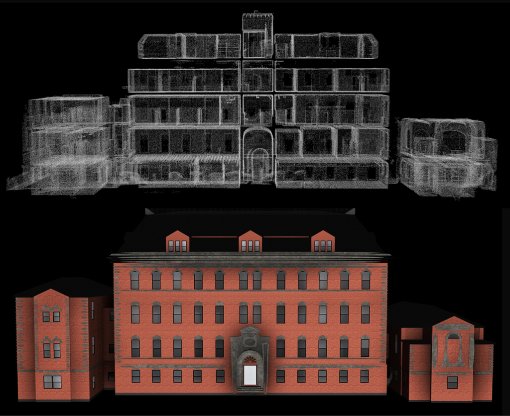
Capture the complete geometry of your spaces with millimeter accuracy. Our high-precision LiDAR scanning generates dense point clouds, seamlessly converted into 2D plans and 3D as-built models. 
Aerial Surveys and Photogrammetry

Through drone data capture, JUMO transforms your land and infrastructure into visual and measurable tools.

Optimize Your Operations Today

Scroll to Top